Scroll Down For Services & Applications.

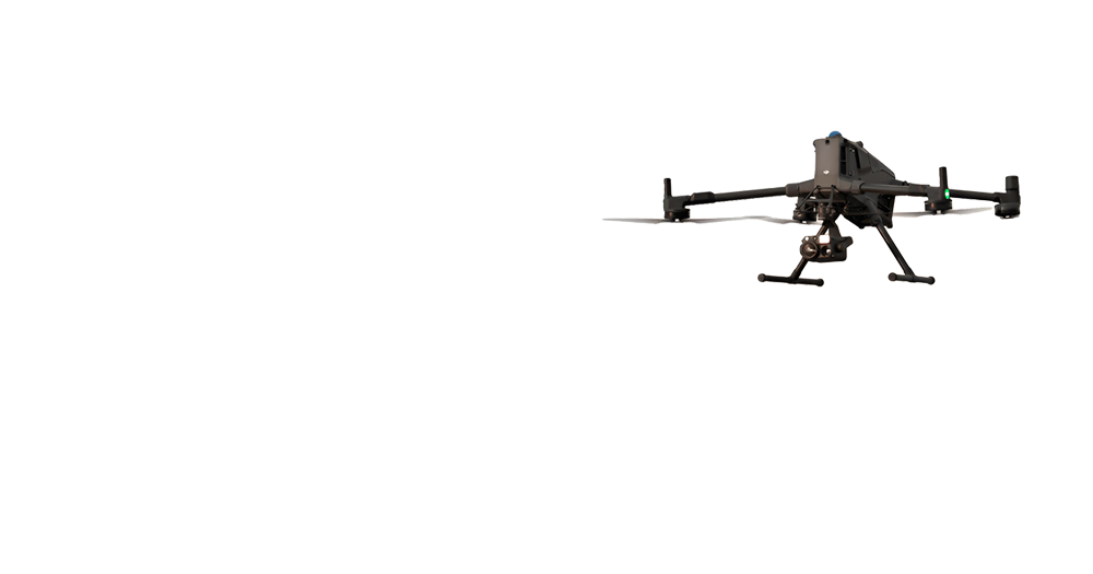
PRECISION
FROM ABOVE
Expertly Engineered Aerial Intelligence
Transforming Vision into Measurable Reality
Services
Applications

Ready to Transform Your Projects?
Get in touch with our experts to discuss how our drone technology can benefit your specific needs