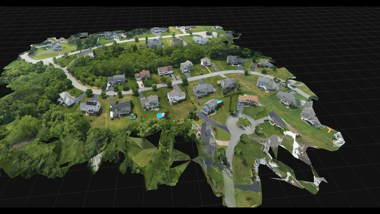
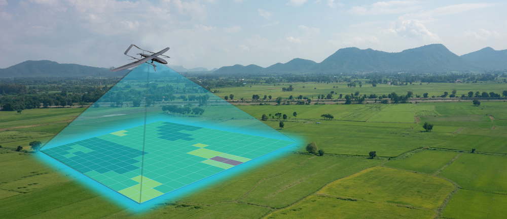
2D & 3D Mapping
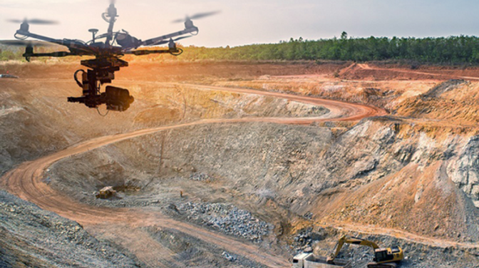
High-resolution orthophotos still the most demanded product for cadastral and municipal mapping. Our aerial photogrammetry and LiDAR workflows deliver spatial clarity at scale. We generate accurate 2D maps for planning and documentation. Our detailed 3D models for visualization, simulation, and BIM integration bridging the gap between raw terrain and digital reality.