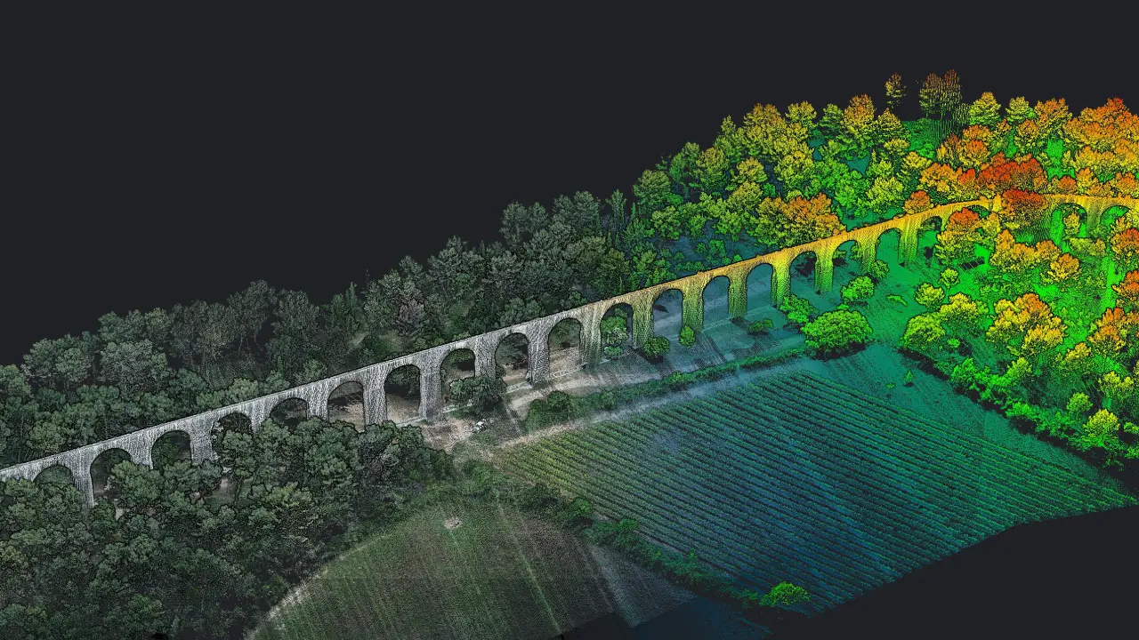
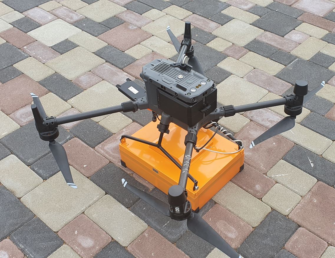
LiDAR Scanning
Our airborne LiDAR systems capture up to 300,000 points per second with ±3 cm accuracy and a 360° horizontal field of view, penetrating vegetation to reveal complex terrain with exceptional clarity. The result is ultra-dense 3D point clouds suitable for:
- Infrastructure corridor modeling
- Post-war damage assessment
- Archaeological site mapping
- High-precision terrain reconstruction
LiDAR delivers unmatched vertical accuracy and terrain detail—especially in environments where traditional survey methods fail.