GEOVISION

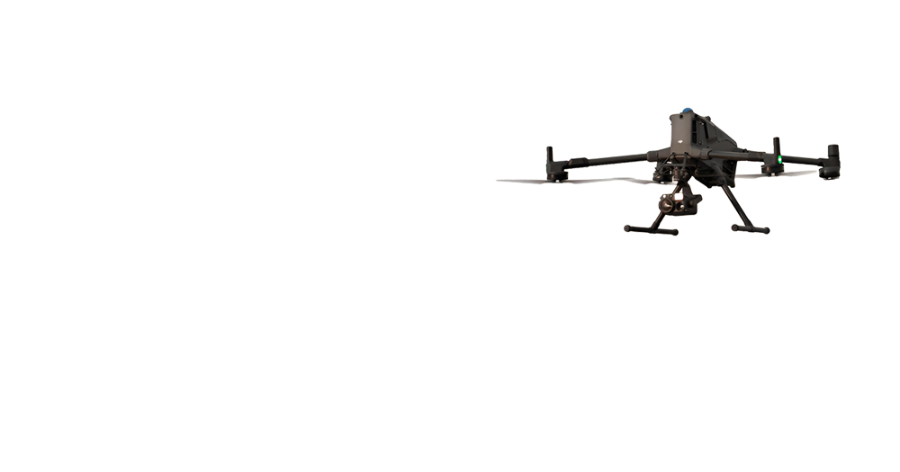
GEOVISION integrates advanced aerial, terrestrial, and subsurface surveying technologies to deliver high accuracy spatial data that empowers decision making across major infrastructure and development projects.

Get in touch with our experts to discuss how our drone technology can benefit your specific needs