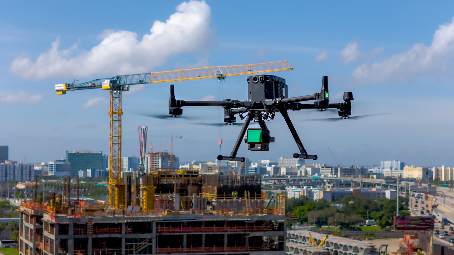
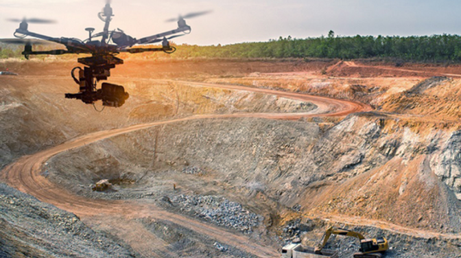
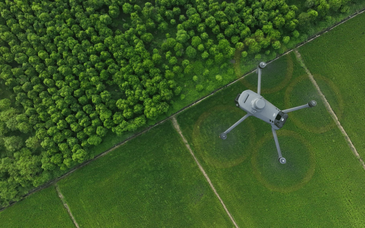
Construction
High precision spatial data for accurate planning, design, and execution.
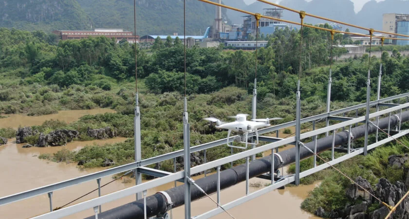
GEOVISION supports construction projects with integrated surveying solutions that combine aerial photogrammetry, terrestrial measurements, and geodetic control. We provide:
- Centimeter-level site validation
- Earthwork optimization and quantity calculations
- Progress monitoring and documentation
- As-built verification
From residential developments to industrial facilities and large-scale infrastructure, our geomatics data forms the technical backbone of successful project delivery.