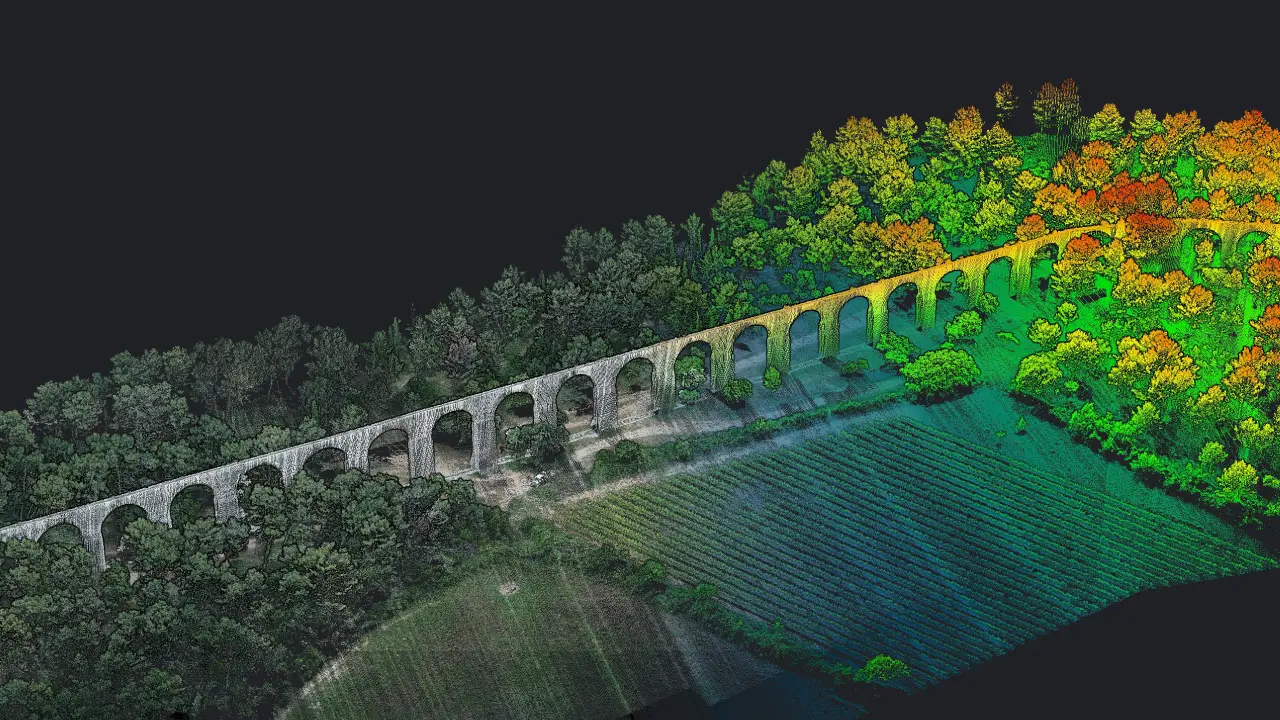
LiDAR Scanning
Our airborne LiDAR systems capable of capturing 300,000 points per second with accuracy of ±3 cm, and 360° horizontal field of view, passing through vegetation to reach complex terrain and then generate ultra-dense 3D point clouds. Whether the case is modeling infrastructure corridors, analyzing post-war zones, or mapping archaeological sites, LiDAR delivers unmatched vertical accuracy and terrain clarity even in environments where traditional methods fail.