GEOVISION
Scroll Down For Services & Sectors.
Logo

GEOVISION

New Construction Techniques

HOME ABOUT US All Services LiDAR Scanning Photogrammetry High‑Accuracy Survey Thermal Scanning 3D Modeling & BIM GIS & Analytics Earthwork Quantification Subsurface (GPR) Technical Reporting All Sectors Construction Roads & Bridges Urban Planning Energy & Utilities Mining & Quarries Disaster Management Cultural Heritage Agriculture & Forestry BLOG CONTACT US
Omyyad Mosque


THE MEANING OF PRECISION

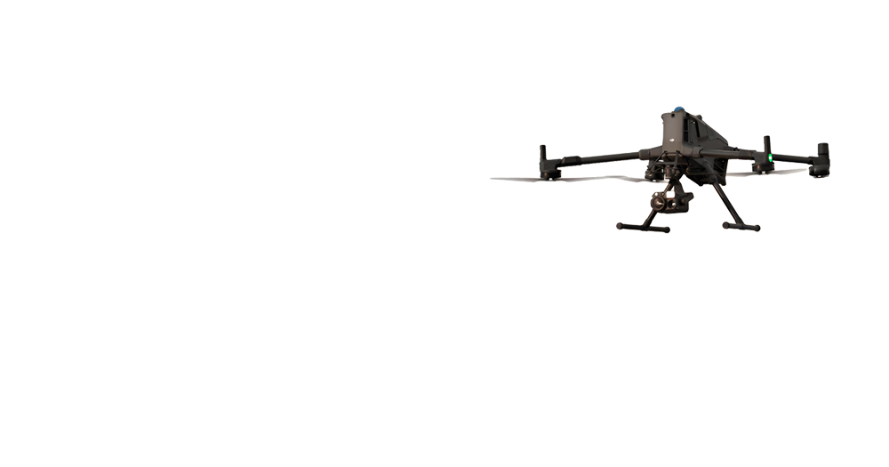
GEOVISION integrates advanced aerial, terrestrial, and subsurface surveying technologies to deliver high accuracy spatial data.

How We Work

A systematic approach from consultation to final delivery

1

Initial consultation & scope

2

Survey planning & tech selection

3

Geodetic control & monitoring

4

Field surveying (aerial/terrestrial)

5

Data processing & analysis

6

QC & validation

Services

Sectors

Decorative lines

Ready to Transform Your Projects?

Get in touch with our experts to discuss how our drone technology can benefit your specific needs

NCT GEOVISION

Contact Info